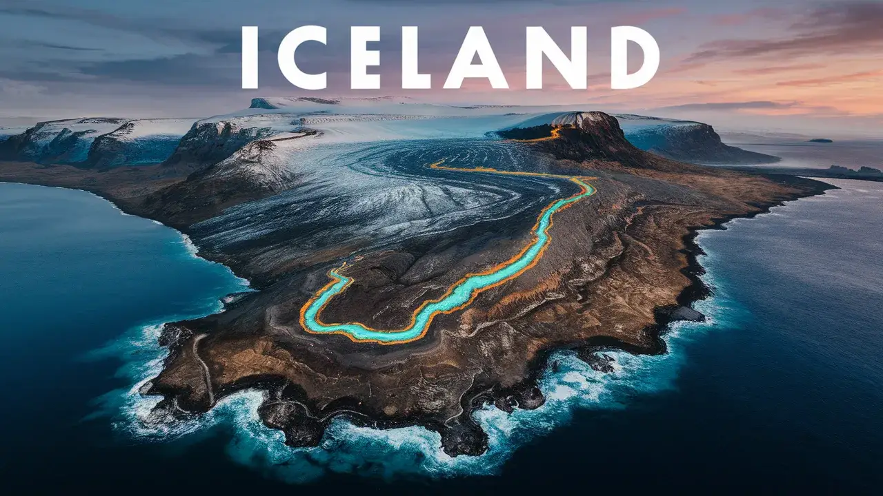
Iceland, a country known for its stunning landscapes and unique geological features, sits atop one of the most significant geological formations on Earth. The island nation is bisected by a plate boundary, which plays a crucial role in shaping its dramatic terrain. But what kind of plate boundary runs across Iceland? This article delves into the specifics of Iceland’s geological setting, focusing on the type of plate boundary, its effects on the landscape, and its implications for seismic and volcanic activity.
Understanding Plate Boundaries
Before exploring Iceland’s specific case, it’s important to understand what plate boundaries are. Earth’s lithosphere is divided into tectonic plates, which float atop the semi-fluid asthenosphere. These plates interact at their edges, known as plate boundaries, which are classified into three main types:
- Divergent Boundaries: Plates move apart from each other.
- Convergent Boundaries: Plates move towards each other.
- Transform Boundaries: Plates slide past one another horizontally.
Each type of boundary results in different geological activities and landforms.
Iceland’s Plate Boundary: The Mid-Atlantic Ridge
Iceland is unique in that it straddles the Mid-Atlantic Ridge, a divergent plate boundary where the Eurasian and North American plates are moving apart. This ridge extends down the center of the Atlantic Ocean and is the longest mountain range in the world, though mostly underwater. Iceland is one of the few places where this ridge is exposed above sea level, providing a rare glimpse into the dynamics of plate tectonics.
The Nature of Divergent Boundaries
Divergent boundaries, such as the one running through Iceland, are characterized by plates moving away from each other. This movement creates new crust as magma rises from the mantle to the surface, solidifying to form new oceanic crust. Over time, this process can lead to the formation of mid-ocean ridges and rift valleys.
In Iceland, the divergent boundary manifests as the Mid-Atlantic Ridge, which runs diagonally across the island from the southwest to the northeast. This ridge is marked by a series of rift valleys, volcanic activity, and seismic events.
Geological Features of Iceland
The presence of the Mid-Atlantic Ridge in Iceland has given rise to several notable geological features:
Rift Valleys: As the Eurasian and North American plates move apart, they create rift valleys. One of the most famous is the Þingvellir (Thingvellir) National Park, where the separation of the plates is clearly visible. This area is a UNESCO World Heritage site and a popular tourist destination.
Volcanoes: Iceland’s volcanic activity is directly linked to its position on the Mid-Atlantic Ridge. The island has numerous active volcanoes, including Eyjafjallajökull, which famously erupted in 2010, and Bárðarbunga. The frequent volcanic activity is a result of magma rising to fill the gaps created by the diverging plates.
Geothermal Activity: The divergence of tectonic plates also contributes to Iceland’s abundant geothermal activity. This activity powers the country’s geothermal energy plants and creates natural hot springs and geysers, such as the famous Strokkur geyser in the Haukadalur Valley.
Earthquakes: The movement of the tectonic plates also leads to seismic activity. While most earthquakes in Iceland are relatively minor, they are a frequent occurrence due to the continuous movement of the plates.
Implications for Iceland’s Environment and Economy
The geological activity resulting from the divergent plate boundary has significant implications for Iceland’s environment and economy:
Renewable Energy: Iceland’s geothermal activity provides a sustainable and renewable source of energy. The country harnesses geothermal energy for heating and electricity, making it one of the world leaders in renewable energy utilization.
Tourism: Iceland’s unique geological features attract millions of tourists annually. Visitors flock to see the rift valleys, volcanoes, geysers, and hot springs. Tourism is a major contributor to the Icelandic economy, driven by the island’s natural beauty and geological wonders.
Agriculture: The volcanic soil in Iceland is rich in minerals, making it fertile for certain types of agriculture despite the harsh climate. Greenhouses heated by geothermal energy allow for the cultivation of various crops.
Hazards: The same geological forces that create Iceland’s stunning landscapes also pose risks. Volcanic eruptions and earthquakes can disrupt life and infrastructure. The 2010 eruption of Eyjafjallajökull, for example, caused widespread air travel disruption across Europe.
Scientific Research and Monitoring
Iceland’s unique position on the Mid-Atlantic Ridge makes it a prime location for geological research. Scientists study the island to better understand the processes of plate tectonics, volcanic activity, and geothermal energy. The Icelandic Meteorological Office (IMO) and other institutions continuously monitor seismic and volcanic activity, providing crucial data for both scientific research and public safety.
The Future of Iceland’s Geology
The divergent plate boundary running through Iceland will continue to shape its landscape in the foreseeable future. As the Eurasian and North American plates continue to move apart, new land will be formed, and volcanic and seismic activity will persist. Scientists predict that this ongoing geological activity will eventually lead to the formation of new islands and landmasses, altering Iceland’s geography over millions of years.
Conclusion
Iceland’s position on the Mid-Atlantic Ridge, a divergent plate boundary, is the key to understanding its unique geological features and dynamic environment. This boundary, where the Eurasian and North American plates are pulling apart, gives rise to rift valleys, volcanic activity, geothermal phenomena, and frequent earthquakes. These features not only shape Iceland’s stunning landscapes but also play a crucial role in its economy, particularly in tourism and renewable energy. As scientists continue to study and monitor this geological wonder, Iceland remains a living laboratory for understanding the powerful forces that shape our planet.